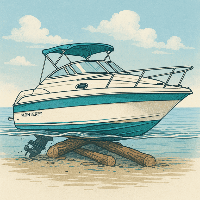
September 2025.
The fish were practically volunteering for the frying pan. Four‑hour limit, perfect skies, and the kind of calm water that makes you think you’re in a tourism commercial.
Naturally, I pointed the bow home, cranked the throttle, and let the heavy metal blast through the speakers. Because everyone knows horsepower increases by at least 12% when Metallica is involved.
But halfway back, something felt off.
Not the music — the water.
My depth sounder started whispering numbers I didn’t like. So I did what any responsible captain would do:
I turned down the metal, put on something calm, and pretended that would somehow raise the water level.
Electronics are fun like that.
Mouse Trails and Mild Panic
Thankfully, I had my Garmin mouse trails on — the digital breadcrumbs that remind you where you didn’t hit anything last time.
Good thing too, because the approach to my marina is a nautical obstacle course: dotted islands, narrow cuts, and a shallow stretch that demands you lift the stern drive so high it feels like you’re trying to dock a unicycle.
Normally I have a comfortable 4 feet under me.
Not today.
Three feet.
Then 2.5.
Then 2.3.
At this point, the depth sounder wasn’t giving numbers — it was giving attitude.
And then… thunk.
Followed by another thunk.
And then a scrrrrraaaape that sounded like a kraken waking up from a nap and choosing violence.
Thankfully, I was only doing 3 mph, and the boat had enough momentum to slide over whatever logs or river debris were auditioning for the role of “Hull Inspector #1.”
By the time I reached the marina, the docks were sitting in less than 50 cm of water. Sailboats were stuck like decorative lawn ornaments.
Something had clearly changed — and fast.
So… Was This a Seiche?
Nope.
Not even close.
A seiche is basically a giant lake‑sized slosh — a standing wave caused by strong winds or rapid pressure changes. Think of the lake as a giant bathtub. Push the water to one side, and it comes back with enthusiasm.
Lake Erie is famous for seiches because it’s long, shallow, and shaped like a wind tunnel designed by someone who hates marinas.
But here’s the thing:
A seiche can move water levels by feet in hours… …but this wasn’t one.
There was no wind setup.
-No pressure swing.
-No lake‑wide oscillation.
-So what happened?
The Real Culprit: Lake Management + Seasonal Drop
In late summer and early fall, Lake Erie levels are often lowered to support outflows into Lake Ontario. This is part of the International Joint Commission’s regulation plan — a balancing act between hydropower, shipping, flood control, and not flooding Toronto’s waterfront condos.
Combine that with:
- A dry late summer
- High evaporation
- Lower‑than‑average Great Lakes levels in 2025
…and suddenly your river loses depth like a teenager losing interest in chores.
The Grand River responds quickly to changes in Lake Erie’s level, especially near the mouth. So while you were out catching dinner, the lake was quietly draining like someone pulled the plug.
Does This Happen on Georgian Bay?
Short answer: yes, but not the same way.
Georgian Bay is part of Lake Huron — a massive, open basin that doesn’t slosh dramatically like Erie. Seiches do occur, but they’re smaller and slower.
What you do get on Georgian Bay:
- Wind setup (water pushed toward or away from shore)
- Pressure-driven changes
- Short-term lake-wide fluctuations
- Shallow inlets that exaggerate everything
So yes, Georgian Bay can surprise you — but it’s less likely to drop a foot in a few hours unless the wind is doing something theatrical.
How to Predict Water Levels (So You Don’t Star in Your Own Kraken Story)
Here are the best tools for boaters who want to avoid unplanned hull exfoliation:
- Canadian Hydrographic Service – Water Level Forecasts
Seasonal and monthly lake-level predictions. - Environment Canada Marine Forecasts
Wind + pressure = short-term water level changes. - US Army Corps of Engineers Lake Level Bulletins
Great for understanding lake-wide trends. - Grand River Conservation Authority (GRCA)
Real-time Lake Erie levels near Port Maitland, Port Dover, and Port Colborne. - NOAA Great Lakes Water Level Dashboard
Excellent for tracking seiches, wind setup, and hourly fluctuations.
Final Takeaway
Water levels are getting more dynamic — whether you’re on the Grand River, Lake Erie, or Georgian Bay. Understanding the forces behind them helps you boat smarter, safer, and with fewer “kraken encounters.”
And remember:
If your depth sounder starts counting down like a rocket launch,
it’s time to slow down, lift the drive, and maybe switch to jazz.
